Brewood

Brewood is a village located in South Staffordshire, with the Shropshire union canal and strong sense of community running through its heart.

Aerial photo of Shropshire Union canal

FAIR has been engaging with local residents to co-design solutions to reduce flood risks from the Chillington Brook and make the community of Brewood more resilient. This community page displays real-time monitoring information from sensors installed by FAIR along the Chillington Brook. For more information on the co-designed flood risk mitigation scheme, please see the Community News section below. 

Local flood forecast updates are available for your community on this page or via WhatsApp. Scanning the QR code will open WhatsApp on your device, where you can choose to join the channel.

Scan for WhatsApp updates

Brewood_qr.jpg

No local flood forecast alerts currently in force

Community news

Community scheme - Brewood

FAIR is empowering communities across Staffordshire and the Black Country with the skills, knowledge, and resources to improve their floo...

Find out more
What is flooding?
What is flooding?

Flooding is when land that is usually dry is covered in water. This can be for a short period of time, such as a few hours, or over longe...

Find out more
What is FAIR?
What is FAIR?

A FAIR (Flood: Aware, Informed, Resilient) Approach to Community Flood Risk is working innovatively and collaboratively to reduce fl...

Find out more

Other communities

Swipe across to see other communities

Image of bluebells in a wood
Bilbrook
View community
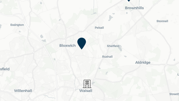
Image of mapping with Blakenall Heath identified
Blakenall Heath
View community
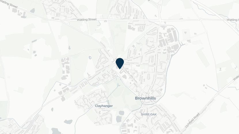
Screenshot of mapping with Brownhills shown
Brownhills
View community
Image of a church
Cannock
View community
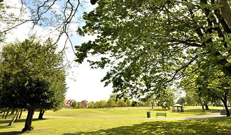
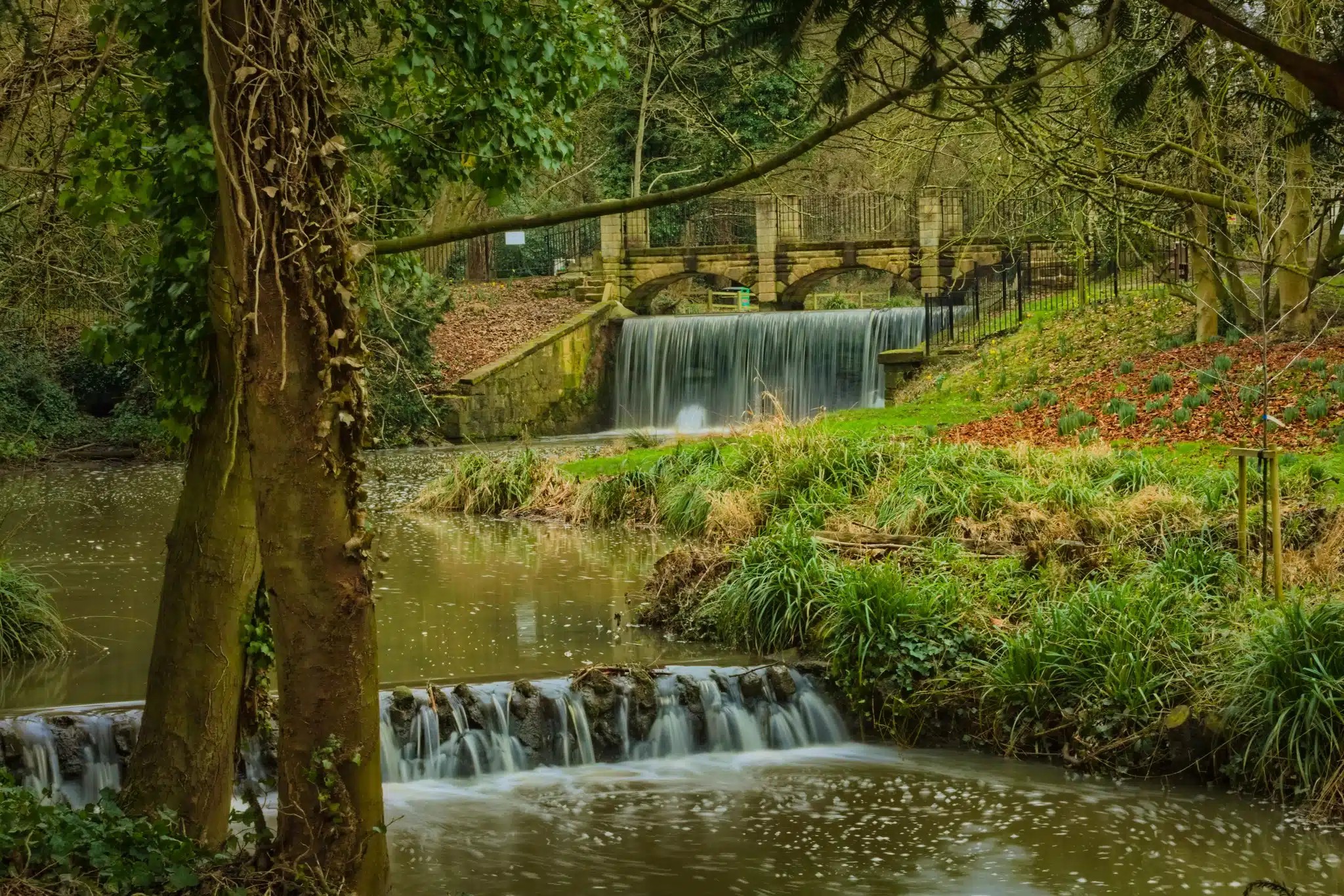
Image shows a view of park in the community of Cape Hill
Cape Hill
View community
Image of planting and Church Eaton sign
Church Eaton
View community
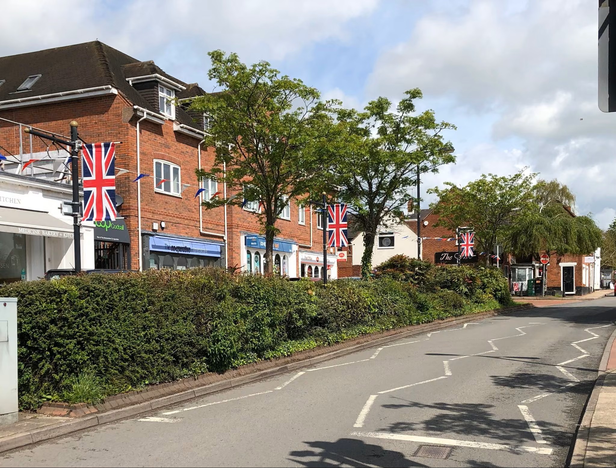
Image of a road with shops in Codsall
Codsall
View community
Image of mapping with Cranberry identified
Cranberry
View community
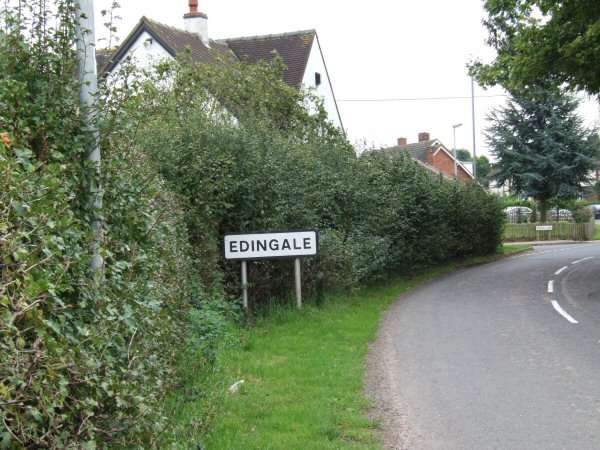
Image of road sign showing Edingale.
Edingale
View community
Image of mapping with Great Wryley identified
Great Wryley
View community
Image shows a view of Lower Gornal
Lower Gornall
View community
Image of mapping with Marchington identified
Marchington
View community
Image of mapping with Newborough identified
Newborough
View community
Planter in wheeled trolley
Norton Canes
View community
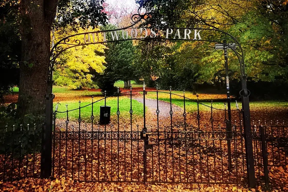
Image of a park in the community of Outwoods
Outwoods
View community
Image of nature in the community of Rolleston.
Rolleston
View community
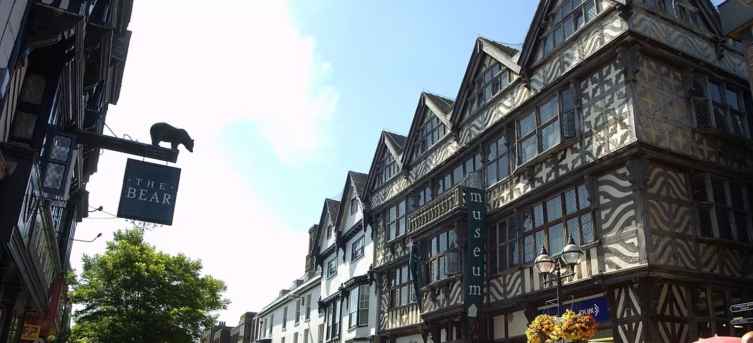
Image of buildings in the community of Stafford.
Stafford
View community
Image of a sign and park in Uttoxeter
Uttoxeter
View community
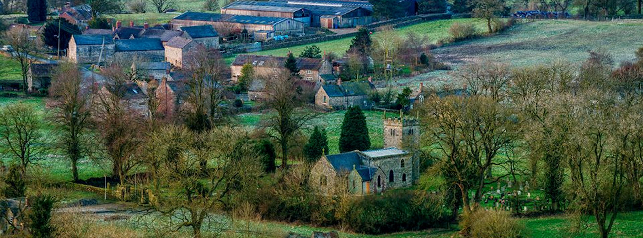
Image of houses on a hill in the community of Waterhouses.
Waterhouses
View community
Image of mapping highlighting the location of Winshill
Winshill
View community
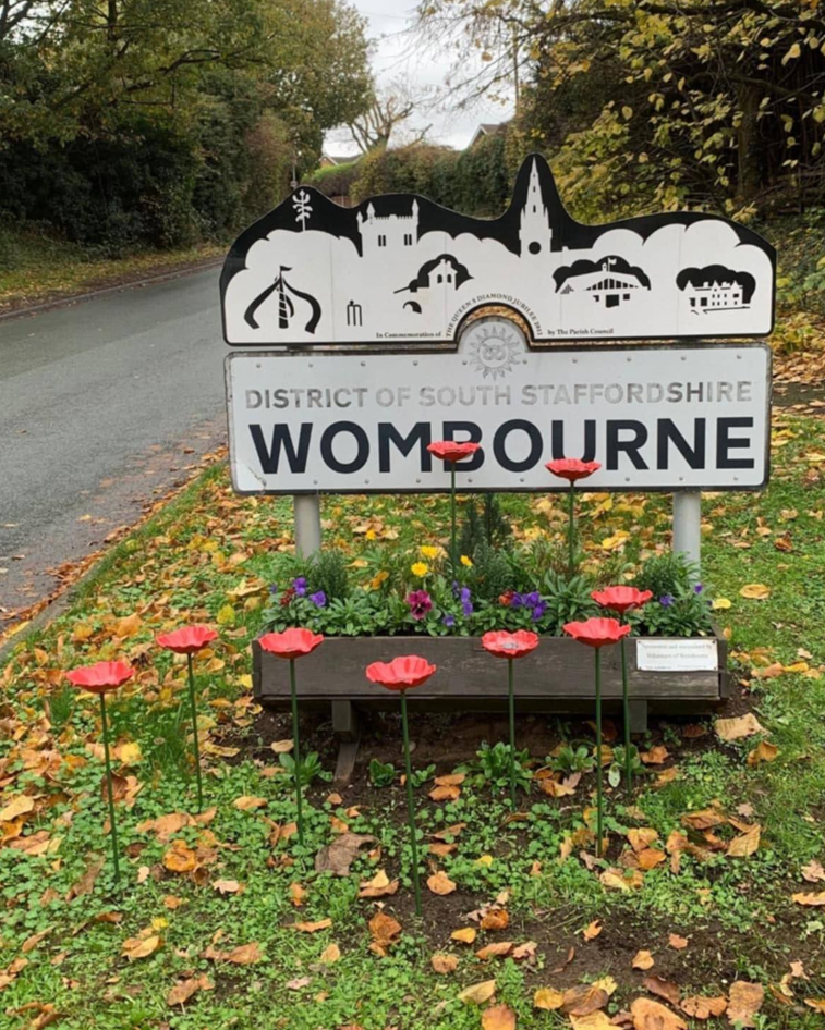
Image of community welcome sign for Wombourne
Wombourne
View community