Cranberry
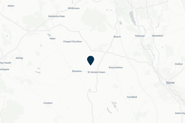
Cranberry is a small village in Staffordshire that has suffered severe surface water flooding on several occasions, most notable August 2020, January 2021 and January 2024. This has significantly impacted the community with flooding affecting both property and roads.
In recent years, property and highway flooding has occurred during high rainfall events when surface water runoff from land to the east of the village exceeds the capacity of local drainage networks and culverts crossing the West Coast Mainline. FAIR has been engaging with residents, landowners and the Highway Authority to better understand the flooding issues and improve flood resilience. This has included improvements to local surface water drainage networks within the village, installation of Property Flood Resilience measures and the implementation of a gully sensor within the upper catchment.
This community page displays real-time monitoring information from the gully sensor installed in Cranberry, as well as information about how FAIR is continuing to work collaboratively with the local community, Staffordshire County Council Lead Local Flood Authority and Highway Authority to improve flood resilience at Cranberry.
Community news

What is flooding?
Flooding is when land that is usually dry is covered in water. This can be for a short period of time, such as a few hours, or over longe...
Find out more
What is FAIR?
A FAIR (Flood: Aware, Informed, Resilient) Approach to Community Flood Risk is working innovatively and collaboratively to reduce fl...
Find out moreOther communities
Swipe across to see other communities