Church Eaton
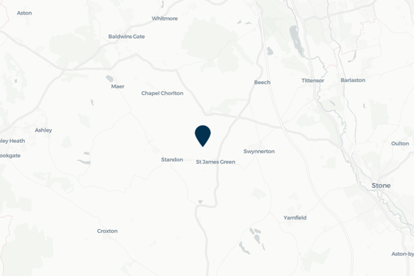
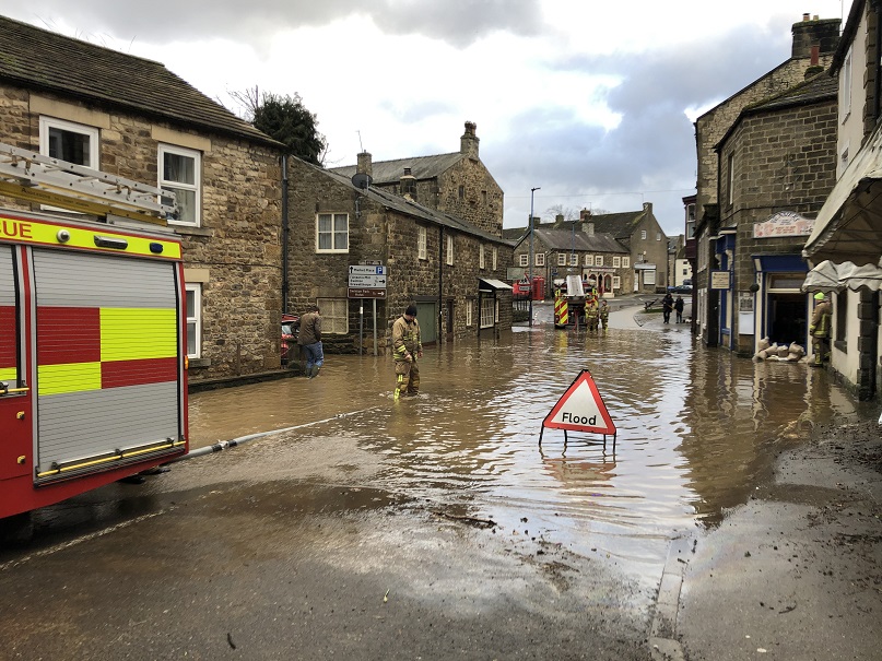
Church Eaton is a small village in Staffordshire. Ongoing surface water flooding has affected both property and the highway, resulting in the village becoming cut off during periods of heavy rainfall.
FAIR has been engaging with residents in Church Eaton to reduce ongoing flood risks from surface water flooding and watercourses that have affected both property and the highway. In recent years, highway flooding has resulted in the village becoming frequently cut off during periods of heavy rainfall. This has significantly disrupted daily life, damaging property, limiting access to the local school, village hall and other key facilities, as well as putting vulnerable residents at risk. FAIR has been working closely with residents, the Parish Council and the Highway Authority to better understand the flooding issues and co-create practical, community-led solutions to reduce risk and minimise disruption.
This collaborative approach has included mapping and prioritising key routes in and out of the village, improving the conveyance of surface water through local ordinary watercourses and improving highway drainage to ensure residents have a safe and reliable way to access and support one another during flood events. This community page displays real-time monitoring information from sensors installed by FAIR in Church Eaton, as well as information from the pilot flood forecasting system.
Local flood forecast updates are available for your community on this page or via WhatsApp. Scanning the QR code will open WhatsApp on your device, where you can choose to join the channel.
Scan for WhatsApp updates

No local flood forecast alerts currently in force
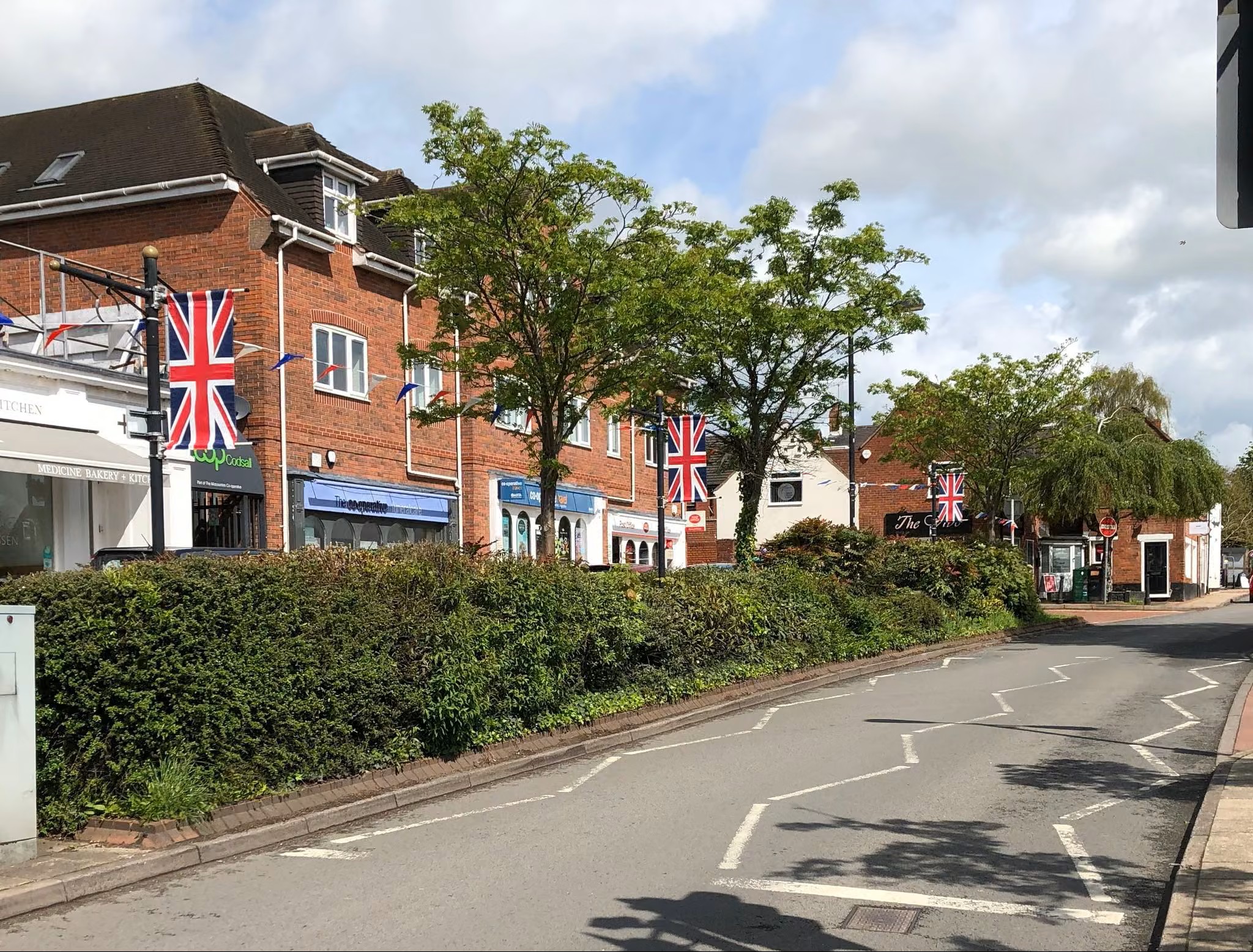
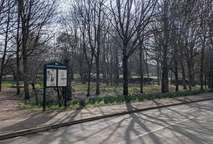
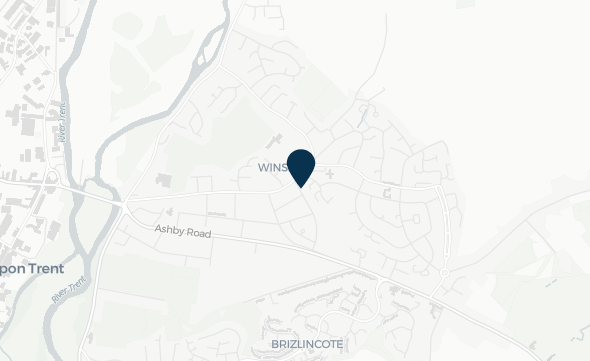
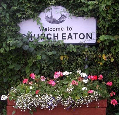
Images for CHURCH EATON
Timestamp: Monday, November 2, 2026 7:31:00 PM

Community news
What is flooding?
Flooding is when land that is usually dry is covered in water. This can be for a short period of time, such as a few hours, or over longe...
Find out more
What is FAIR?
A FAIR (Flood: Aware, Informed, Resilient) Approach to Community Flood Risk is working innovatively and collaboratively to reduce fl...
Find out moreOther communities
Swipe across to see other communities