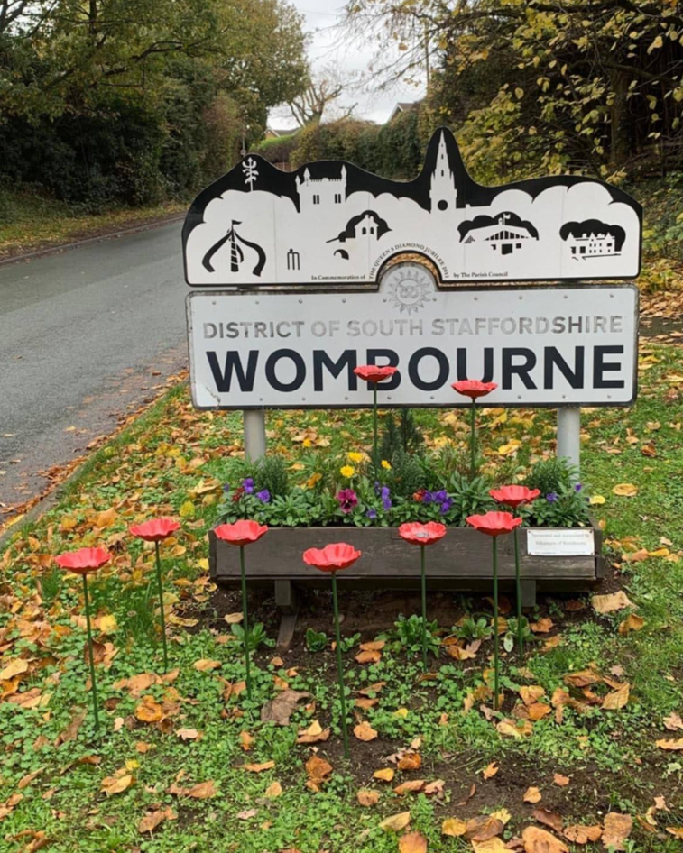
Winshill
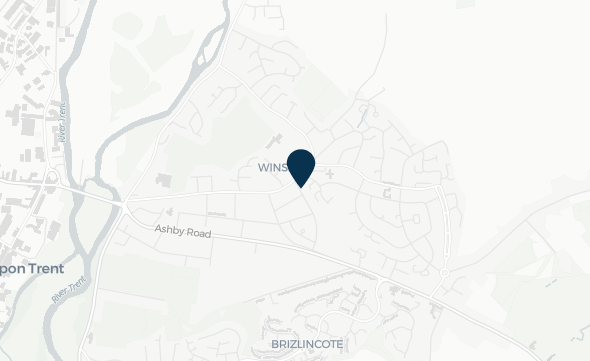
Winshill is a suburb and civil parish in Burton-on-Trent, between the eastern bank of the River Trent and the Staffordshire-Derbyshire border. Several watercourses are present around Winshill, including the Dales Brook, which flow towards the River Trent.
The community in Winshill experience flooding, most recently in 2020, from the surrounding watercourses as well as surface water runoff in the area. FAIR, through the National Flood Forum, are supporting residents to work in partnership with Risk Management Authorities to better understand, and begin to address, flood risk issues in the area. This includes the formation of a Flood Action Group that have led walkovers of the area to highlight issues that increase their flood risk and hold Multi-Agency Meetings with Risk Management Authorities.
Additionally, FAIR and the National Flood Forum are working with the Trent Rivers Trust to engage landowners in the area to discuss soil and land management methods to reduce runoff. This community page displays monitoring from sensors installed by FAIR, as well as more information about how FAIR and the National Flood Forum are working with residents and the Trent Rivers Trust to make the community more resilient to flood risks.
Local flood forecast updates are available for your community on this page or via WhatsApp. Scanning the QR code will open WhatsApp on your device, where you can choose to join the channel.
Scan for WhatsApp updates

No local flood forecast alerts currently in force
Community news

What is flooding?
Flooding is when land that is usually dry is covered in water. This can be for a short period of time, such as a few hours, or over longe...
Find out more
What is FAIR?
A FAIR (Flood: Aware, Informed, Resilient) Approach to Community Flood Risk is working innovatively and collaboratively to reduce fl...
Find out moreOther communities
Swipe across to see other communities