Cannock
Cannock is a town in the District of Cannock Chase in Staffordshire. The town has undertaken much development in recent years, with surface water runoff causing internal property and highway flooding in many locations.

FAIR has engaged with residents and communities across Cannock experiencing flood risk issues, particularly Rumer Hill and St Luke's Primary School in Shoal Hill, to co-create effective solutions to highlighted issues. This community page displays images from the Hyssop Close trash screen camera, with more information on the ongoing community schemes found within the Community News Section below.
These projects reflect the continued investment in the Cannock Chase District to reduce flood risk, improve community resilience and manage surface water in wider catchments.
Local flood forecast updates are available for your community on this page or via WhatsApp. Scanning the QR code will open WhatsApp on your device, where you can choose to join the channel.
Scan for WhatsApp updates

No local flood forecast alerts currently in force
Images for Hyssop Close
Timestamp: Monday, November 2, 2026 6:43:00 PM

Community news
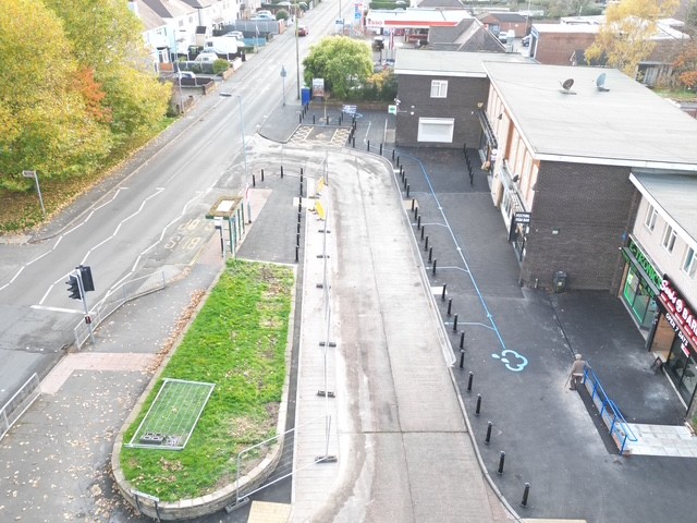
Community scheme - Cannock
This transformative project will reduce the flood risk to both commercial and residential properties from future flooding, while also del...
Find out more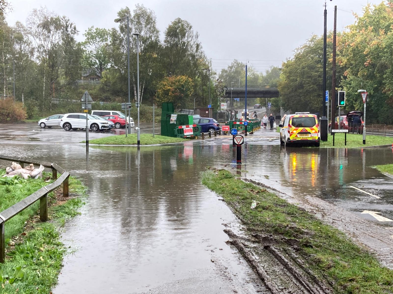
Community scheme - Rumer Hill
Rumer Hill is a busy area of Cannock that regularly experiences localised surface water flooding during heavy rainfall. The area is home...
Find out more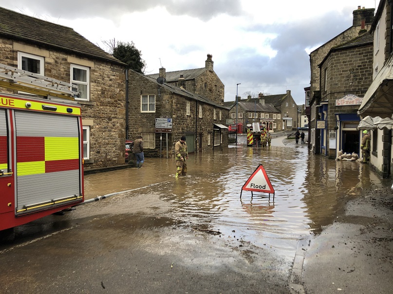
What is flooding?
Flooding is when land that is usually dry is covered in water. This can be for a short period of time, such as a few hours, or over longe...
Find out moreOther communities
Swipe across to see other communities