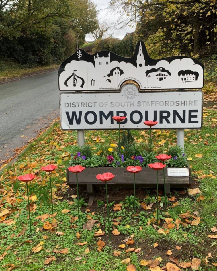
Waterhouses
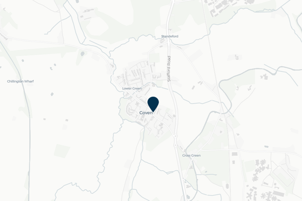
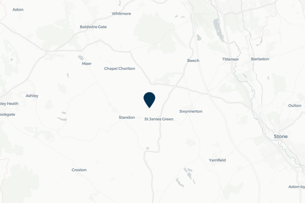
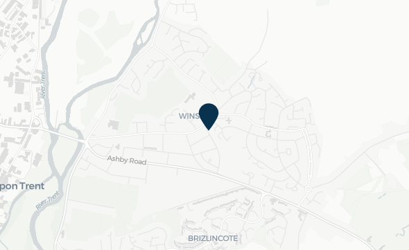
Waterhouses is a village located in the Staffordshire Moorlands, and is on the southern boundary of the Peak District National Park. The River Hamps flows through Waterhouses, with the local area being impacted after high rainfall from surface water runoff and high river levels.
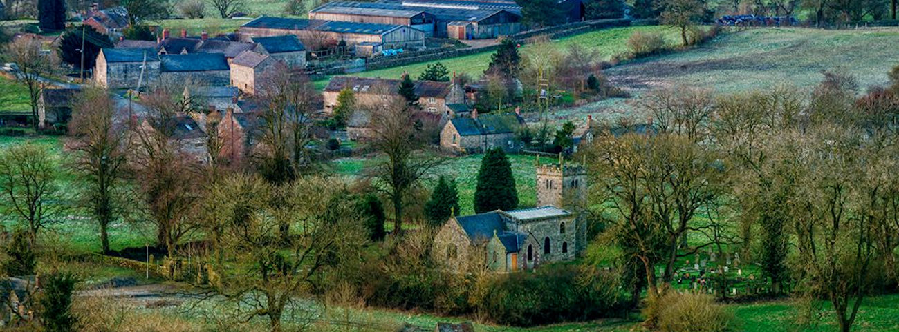
Waterhouses was identified by FAIR as at a potential risk from surface water runoff and high river levels in the River Hamps, impacting residents in the local area. FAIR has been working with the Waterhouses Parish Council, residents and landowners in the area to co-design a Sustainable Drainage System scheme to alleviation some flood issues, with important and continued community engagement supporting positive and sustainable resilience for residents who have experienced flooding. This community page displays real-time monitoring of river levels in the River Hamps installed by FAIR as well as information on the work FAIR is undertaking in Waterhouses.
Local flood forecast updates are available for your community on this page or via WhatsApp. Scanning the QR code will open WhatsApp on your device, where you can choose to join the channel.
Scan for WhatsApp updates

No local flood forecast alerts currently in force
Community news

What is flooding?
Flooding is when land that is usually dry is covered in water. This can be for a short period of time, such as a few hours, or over longe...
Find out more
What is FAIR?
A FAIR (Flood: Aware, Informed, Resilient) Approach to Community Flood Risk is working innovatively and collaboratively to reduce fl...
Find out moreOther communities
Swipe across to see other communities