Newborough

Newborough is a small village situated along the River Swarbourn, in East Staffordshire. Flooding to both property and the highway occurs following heavy rainfall, with the main risk arising from surface water runoff and high water levels within the watercourse.
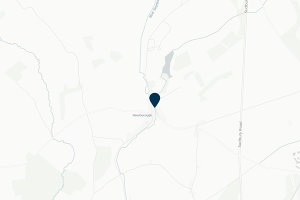
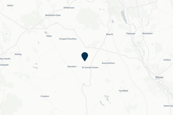
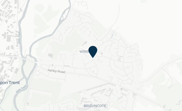
Image of mapping with Newborough identified

Newborough was identified by FAIR as at a potential risk from surface water runoff and high water levels in the River Swarbourn, impacting residents in the local area. FAIR has been working with residents to improve flood resilience through the installation of Property Flood Resilience measures on properties at risk from flooding, and the implementation of a new water level sensor along the River Swarbourn.

This community page displays real-time monitoring information from sensor installed by FAIR on the River Swarbourn.

Community news

What is flooding?
What is flooding?

Flooding is when land that is usually dry is covered in water. This can be for a short period of time, such as a few hours, or over longe...

Find out more
What is FAIR?
What is FAIR?

A FAIR (Flood: Aware, Informed, Resilient) Approach to Community Flood Risk is working innovatively and collaboratively to reduce fl...

Find out more

Other communities

Swipe across to see other communities

Image of bluebells in a wood
Bilbrook
View community
Image of mapping with Blakenall Heath identified
Blakenall Heath
View community
Aerial photo of Shropshire Union canal
Brewood
View community
Screenshot of mapping with Brownhills shown
Brownhills
View community
Image of a church
Cannock
View community
Image shows a view of park in the community of Cape Hill
Cape Hill
View community
Image of planting and Church Eaton sign
Church Eaton
View community
Image of a road with shops in Codsall
Codsall
View community
Image of mapping with Cranberry identified
Cranberry
View community
Image of road sign showing Edingale.
Edingale
View community
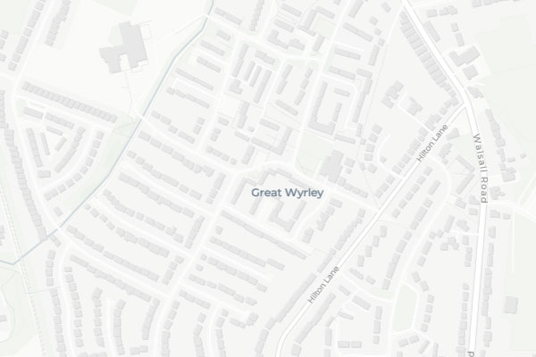
Image of mapping with Great Wryley identified
Great Wryley
View community
Image shows a view of Lower Gornal
Lower Gornall
View community
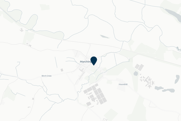
Image of mapping with Marchington identified
Marchington
View community
Planter in wheeled trolley
Norton Canes
View community
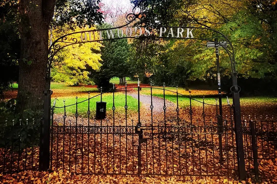
Image of a park in the community of Outwoods
Outwoods
View community
Image of nature in the community of Rolleston.
Rolleston
View community
Image of buildings in the community of Stafford.
Stafford
View community
Image of a sign and park in Uttoxeter
Uttoxeter
View community
Image of houses on a hill in the community of Waterhouses.
Waterhouses
View community
Image of mapping highlighting the location of Winshill
Winshill
View community
Image of community welcome sign for Wombourne
Wombourne
View community