Uttoxeter
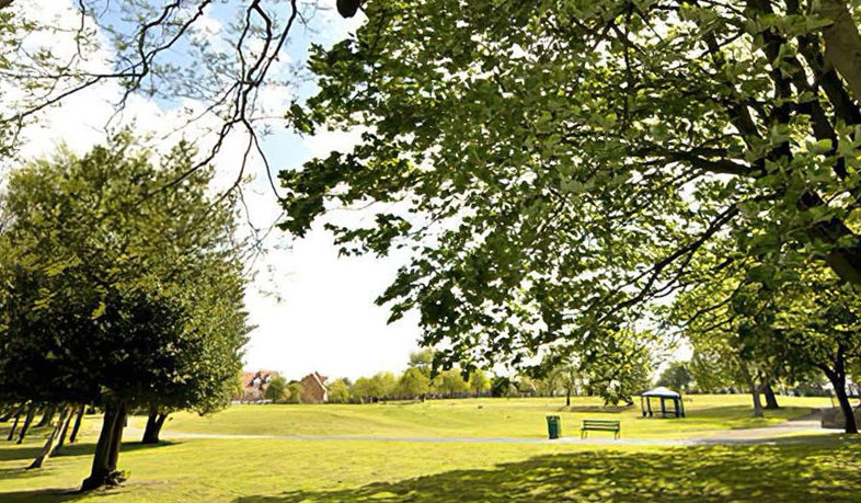
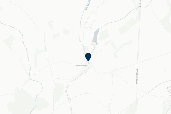
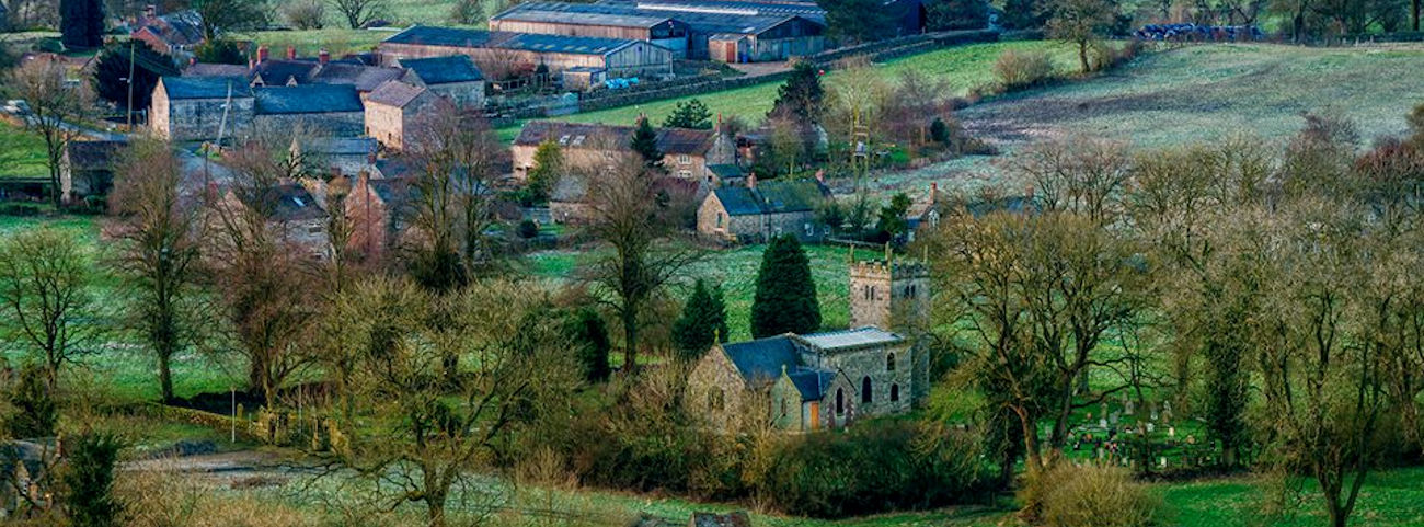
Uttoxeter is a market town and civil parish in East Staffordshire. Repeated flooding has occurred in Uttoxeter, particularly at Hazelwalls Community Park, impacting properties and surrounding roads and causing disruption to the local community.
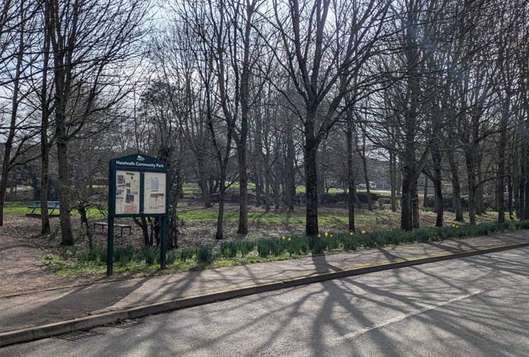
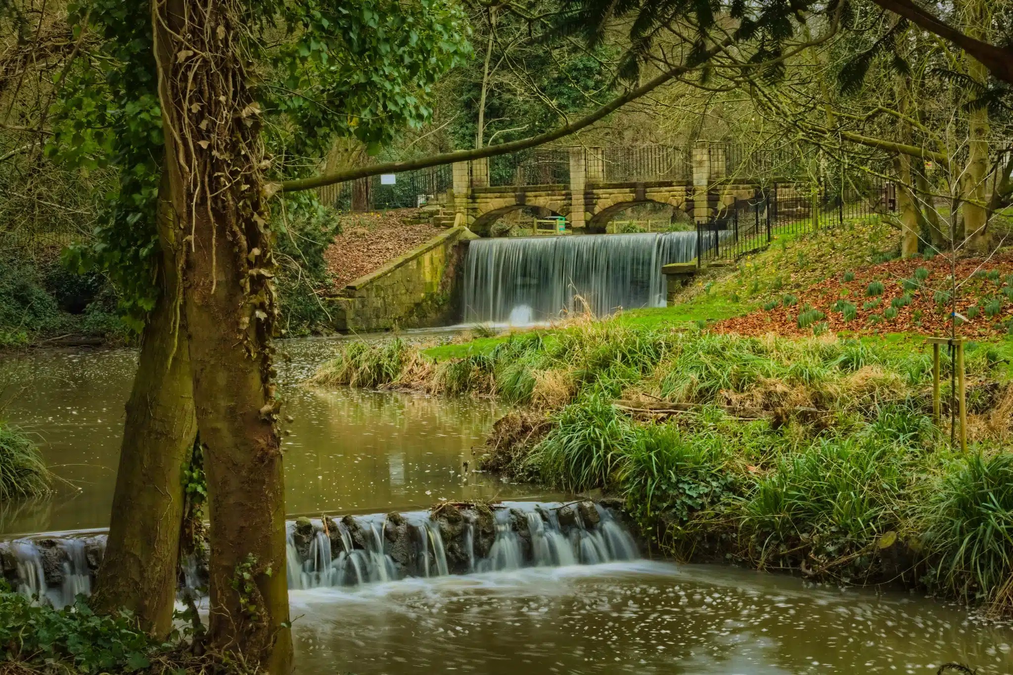
FAIR, through their project partners the National Flood Forum, have been working with residents to better understand flooding issues in Uttoxeter caused by a combination of surface water runoff and several watercourses following around and through the market town. This has particularly focused around a watercourse in Hazelwalls Community Park and flood issues arising from trash screen blockages.
The National Flood Forum have worked with residents to create a Flood Action Group to work in collaboration with agencies for better management of flood risks in the area. This work includes a walkover of the area to identify pinch points and blockage risks that result in flooding, particularly those experienced during Storm Dennis in February 2020. This community page displays the real-time monitoring installed by FAIR, images from the Hazelwalls Park trash screen camera, and information from the pilot flood forecasting system.
Local flood forecast updates are available for your community on this page or via WhatsApp. Scanning the QR code will open WhatsApp on your device, where you can choose to join the channel.
Scan for WhatsApp updates

No local flood forecast alerts currently in force
Images for Hazelwalls
Timestamp: Monday, November 2, 2026 7:36:00 PM

Community news
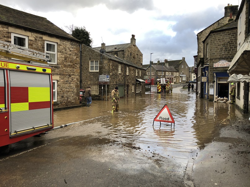
What is flooding?
Flooding is when land that is usually dry is covered in water. This can be for a short period of time, such as a few hours, or over longe...
Find out more
What is FAIR?
A FAIR (Flood: Aware, Informed, Resilient) Approach to Community Flood Risk is working innovatively and collaboratively to reduce fl...
Find out moreOther communities
Swipe across to see other communities