Marchington
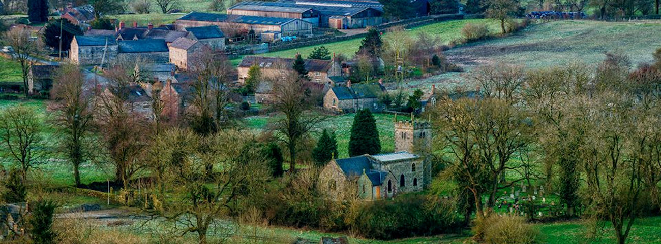
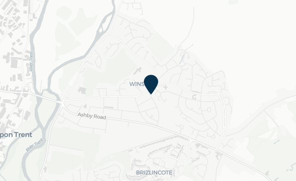
Marchington is a small village located in East Staffordshire that experiences flood issues from the Marchington Brook, that flows through the village, and other surrounding watercourses.
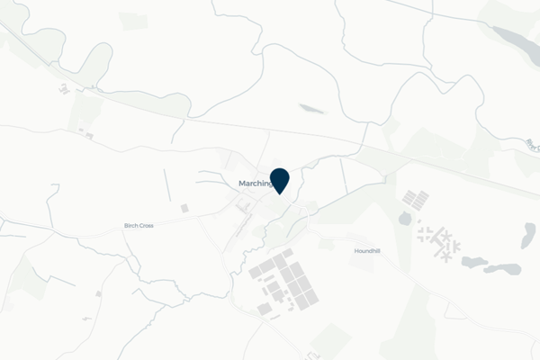
The village of Marchington has a long-standing history of flooding from the Marchington Brook, that impacts properties and roads in the village following heavy rainfall. Marchington has an active Flood Action Group (FlAG) and Parish Council, that have worked in partnership with Risk Management Authorities. The FlAG are very aware of the community's flood risk, and working in partnership with Staffordshire County Council Highways, successfully operate a community road closure scheme to reduce vehicles driving through flooded areas to prevent bow waves from affecting nearby properties.
The Parish Council highlighted the community's desire to better understand the functionality of the two main tributaries in the upper catchment, and how the observed levels respond during heavy rainfall. Following this, FAIR has installed two level sensors on both tributaries of the Marchington Brook that can be viewed on this community page.
Community news

What is flooding?
Flooding is when land that is usually dry is covered in water. This can be for a short period of time, such as a few hours, or over longe...
Find out more
What is FAIR?
A FAIR (Flood: Aware, Informed, Resilient) Approach to Community Flood Risk is working innovatively and collaboratively to reduce fl...
Find out moreOther communities
Swipe across to see other communities