Endon
Endon is a village in the Staffordshire Moorlands district. The area sees 18 brooks flowing through the uplands above the village, with many of these connecting into the Endon Brook. The large amount of watercourses in the area, as well as surface water risks, means that flooding during high rainfall events can affect the community.

Flooding occurs during high rainfall events in Endon, particularly from the Village Brook, Endon Brook and surface water flooding. The most significant flooding occurred in August 2012 due to a localised thunderstorm. FAIR, through their partners the National Flood Forum, have been working with the Endon Flood Action Group to renew their collaborative partnership working with agencies to reduce flood risk across Endon. The Flood Action Group has mapped drainage gullies, held a riparian ownership event to highlight the roles and responsibilities of watercourses on or near their properties, and hold regular Multi-Agency Meetings to discuss issues with Risk Management Authorities. An ongoing Natural Flood Management (NFM) scheme upstream of Endon Bank, undertaken by Staffordshire County Council working with Trent Rivers Trust, is aiming to reduce runoff in the catchment, while FAIR and the National Flood Forums is working with residents and landowners to further reduce flood risks and increase resilience.
This community page displays real-time monitoring information from sensors installed by FAIR in Endon on the Village Brook and Endon Brook, and data from a weather station on Holehouse Lane.
Local flood forecast updates are available for your community on this page or via WhatsApp. Scanning the QR code will open WhatsApp on your device, where you can choose to join the channel.
Scan for WhatsApp updates

No local flood forecast alerts currently in force
No weather station information found

Community news

What is flooding?
Flooding is when land that is usually dry is covered in water. This can be for a short period of time, such as a few hours, or over longe...
Find out more
What is FAIR?
A FAIR (Flood: Aware, Informed, Resilient) Approach to Community Flood Risk is working innovatively and collaboratively to reduce fl...
Find out moreOther communities
Swipe across to see other communities

Bilbrook
View community
Blakenall Heath
View community

Brewood
View community
Brownhills
View community

Cannock
View community
Cape Hill
View community

Church Eaton
View community
Codsall
View community
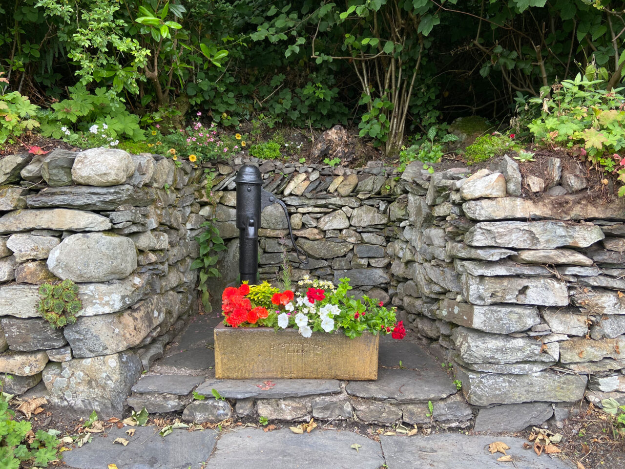
Colton
View community
Coven
View community
Cranberry
View community
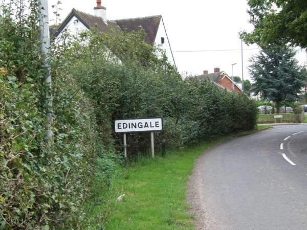
Edingale
View community
Great Wryley
View community
Lower Gornall
View community
Marchington
View community
Newborough
View community

Norton Canes
View community
Outwoods
View community
Rolleston
View community

Stafford
View community

Uttoxeter
View community
Waterhouses
View community
Winshill
View community
Wombourne
View community