Wombourne

Wombourne is a major village and civil parish in South Staffordshire. The area sees the Warstones Brook, Wom Brook and Staffordshire and Worcestshire Canal flowing through its centre.
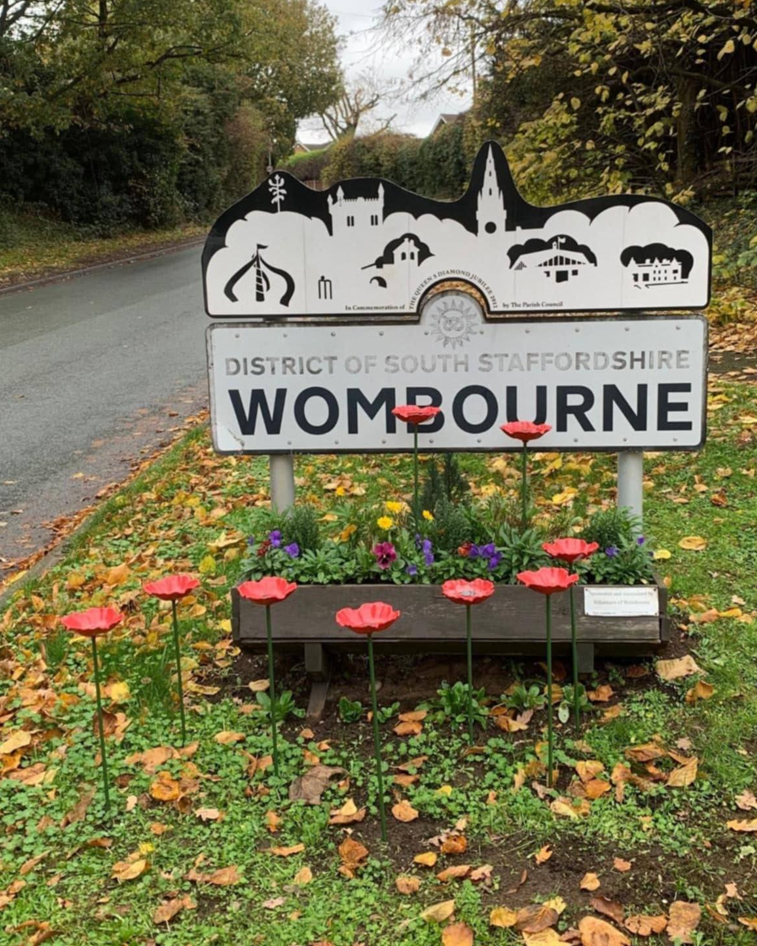
Image of community welcome sign for Wombourne

Areas of Wombourne were highlighted by FAIR as potentially at risk from surface water draining into the watercourses rnning through, and around, Wombourne. The National Flood Forum have engaged with residents and local councillors to identify pinch points that may cause flood risk issues to the community, as well as leading discussions with various agencies to reduce this risk. This community page displays real-time monitoring from sensors installed by FAIR through a collaborative approach working with other authorities, with the aim of highlighting any future issues along the watercourses.

Community news

What is flooding?
What is flooding?

Flooding is when land that is usually dry is covered in water. This can be for a short period of time, such as a few hours, or over longe...

Find out more
What is FAIR?
What is FAIR?

A FAIR (Flood: Aware, Informed, Resilient) Approach to Community Flood Risk is working innovatively and collaboratively to reduce fl...

Find out more

Other communities

Swipe across to see other communities

Image of bluebells in a wood
Bilbrook
View community
Image of mapping with Blakenall Heath identified
Blakenall Heath
View community
Aerial photo of Shropshire Union canal
Brewood
View community
Screenshot of mapping with Brownhills shown
Brownhills
View community
Image of a church
Cannock
View community
Image shows a view of park in the community of Cape Hill
Cape Hill
View community
Image of planting and Church Eaton sign
Church Eaton
View community
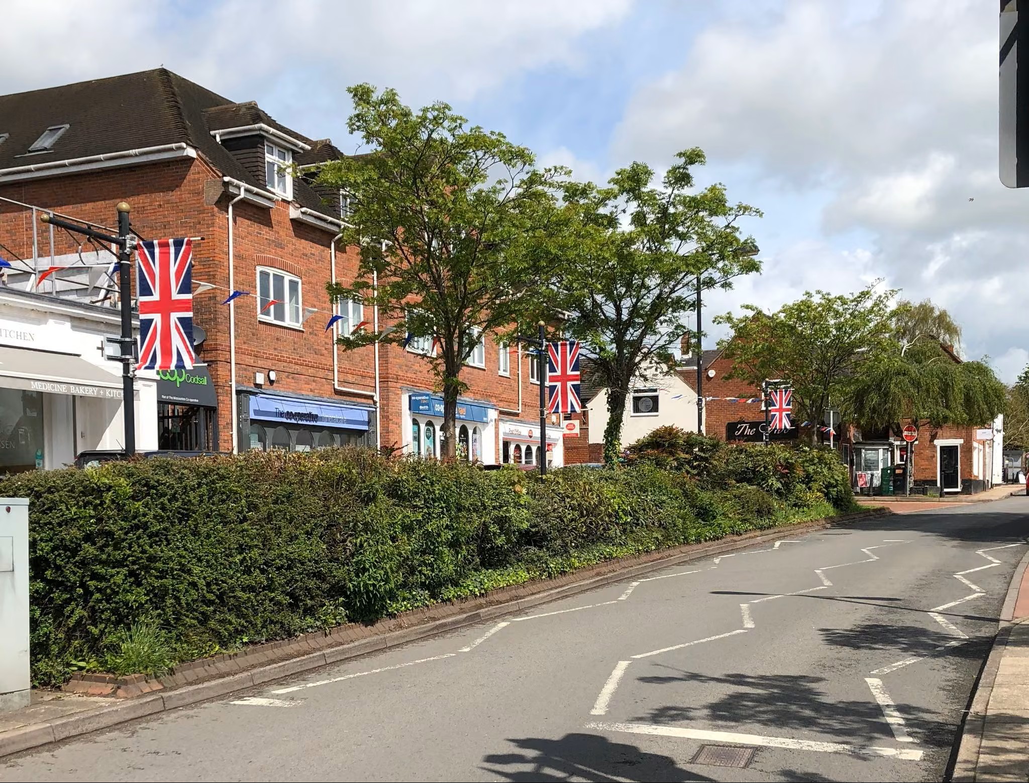
Image of a road with shops in Codsall
Codsall
View community
Image of mapping with Cranberry identified
Cranberry
View community
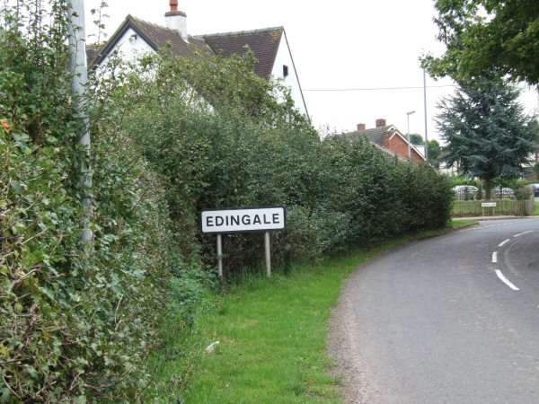
Image of road sign showing Edingale.
Edingale
View community
Image of mapping with Great Wryley identified
Great Wryley
View community
Image shows a view of Lower Gornal
Lower Gornall
View community
Image of mapping with Marchington identified
Marchington
View community
Image of mapping with Newborough identified
Newborough
View community
Planter in wheeled trolley
Norton Canes
View community
Image of a park in the community of Outwoods
Outwoods
View community
Image of nature in the community of Rolleston.
Rolleston
View community
Image of buildings in the community of Stafford.
Stafford
View community
Image of a sign and park in Uttoxeter
Uttoxeter
View community
Image of houses on a hill in the community of Waterhouses.
Waterhouses
View community
Image of mapping highlighting the location of Winshill
Winshill
View community