Lower Gornall

Lower Gornal is a ward located in the Metropolitan Borough of Dudley, east of South Staffordshire border. The urbanised residential area is surrounded by several watercourses, including those in the open green spaces of Baggeridge Country Park and Cotwall End Local Nature Reserve, and can experience surface water issues related to these. 
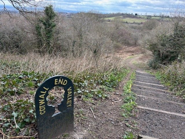
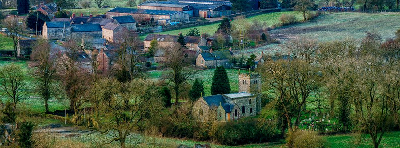
Image shows a view of Lower Gornal

FAIR, through the National Flood Forum, have been engaging with residents in Lower Gornal about their flood risk, particularly those who were affected by surface water flooding in 2023. The National Flood Forum engaged with the community and Risk Management Agencies to coordinate actions to mitigate this risk, including the facilitation of a multi-agency walkover with residents to better understand the localised causes of flooding. Following this successful and positive collaboration with Risk Management Authorities, remedial and repair work in the area has since been carried out which has helped reduce the community's risk of flooding. 

Community news

What is flooding?
What is flooding?

Flooding is when land that is usually dry is covered in water. This can be for a short period of time, such as a few hours, or over longe...

Find out more
What is FAIR?
What is FAIR?

A FAIR (Flood: Aware, Informed, Resilient) Approach to Community Flood Risk is working innovatively and collaboratively to reduce fl...

Find out more

Other communities

Swipe across to see other communities

Image of bluebells in a wood
Bilbrook
View community
Image of mapping with Blakenall Heath identified
Blakenall Heath
View community
Aerial photo of Shropshire Union canal
Brewood
View community
Screenshot of mapping with Brownhills shown
Brownhills
View community
Image of a church
Cannock
View community
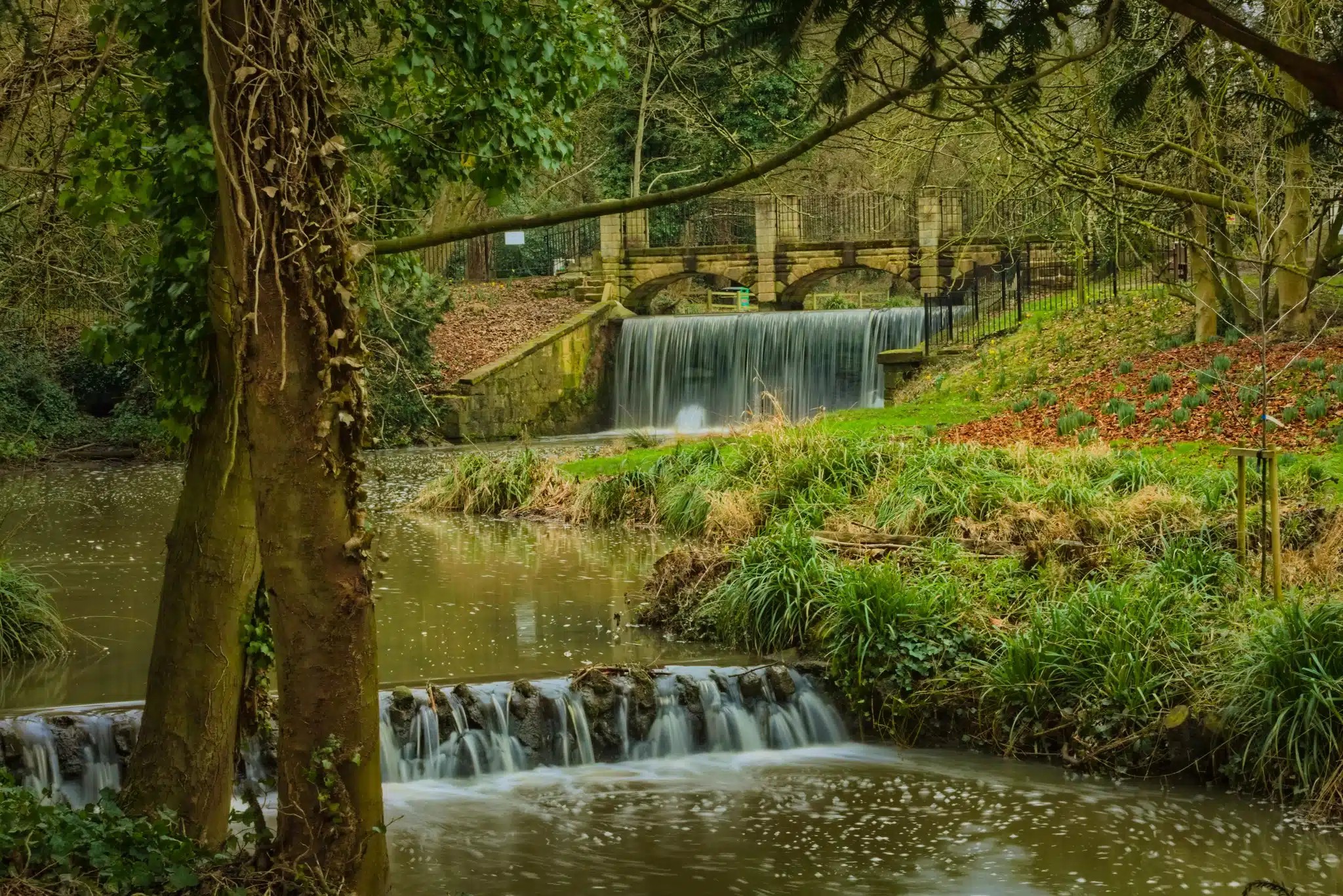
Image shows a view of park in the community of Cape Hill
Cape Hill
View community
Image of planting and Church Eaton sign
Church Eaton
View community
Image of a road with shops in Codsall
Codsall
View community
Image of mapping with Cranberry identified
Cranberry
View community
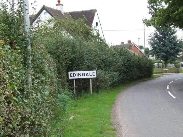
Image of road sign showing Edingale.
Edingale
View community
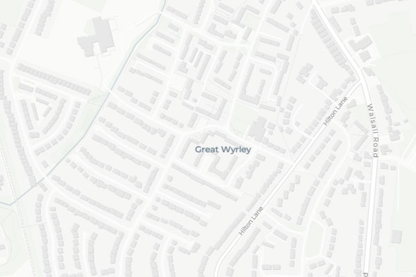
Image of mapping with Great Wryley identified
Great Wryley
View community
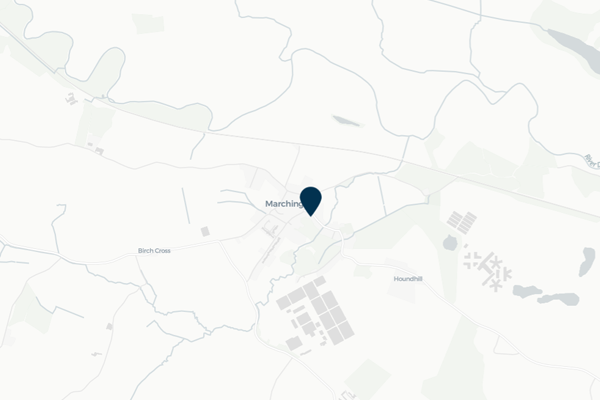
Image of mapping with Marchington identified
Marchington
View community
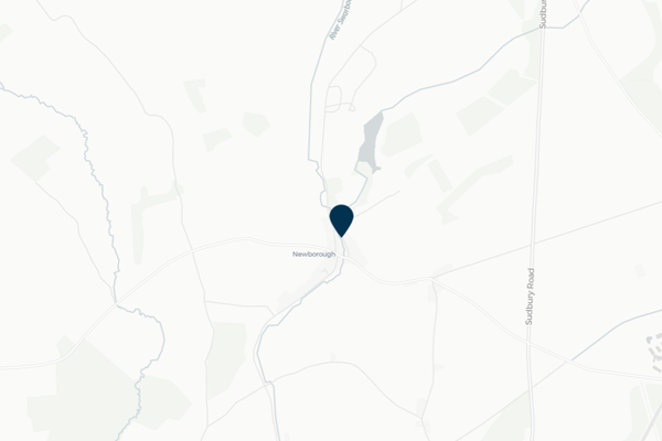
Image of mapping with Newborough identified
Newborough
View community
Planter in wheeled trolley
Norton Canes
View community
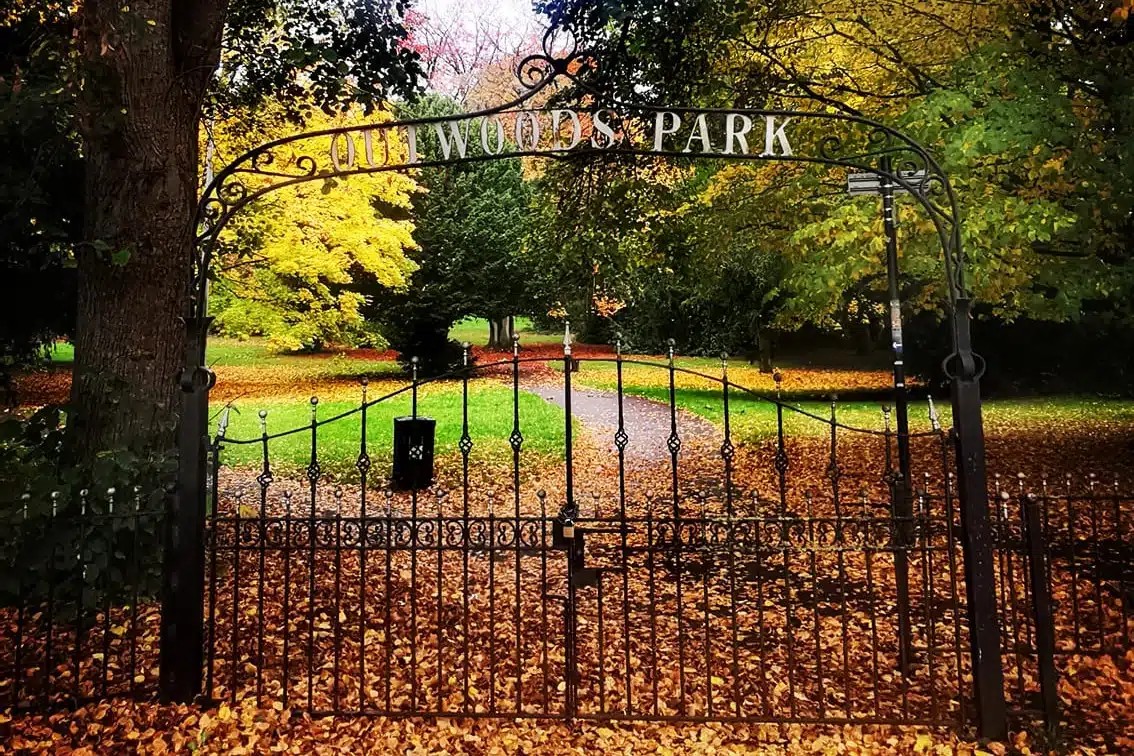
Image of a park in the community of Outwoods
Outwoods
View community
Image of nature in the community of Rolleston.
Rolleston
View community
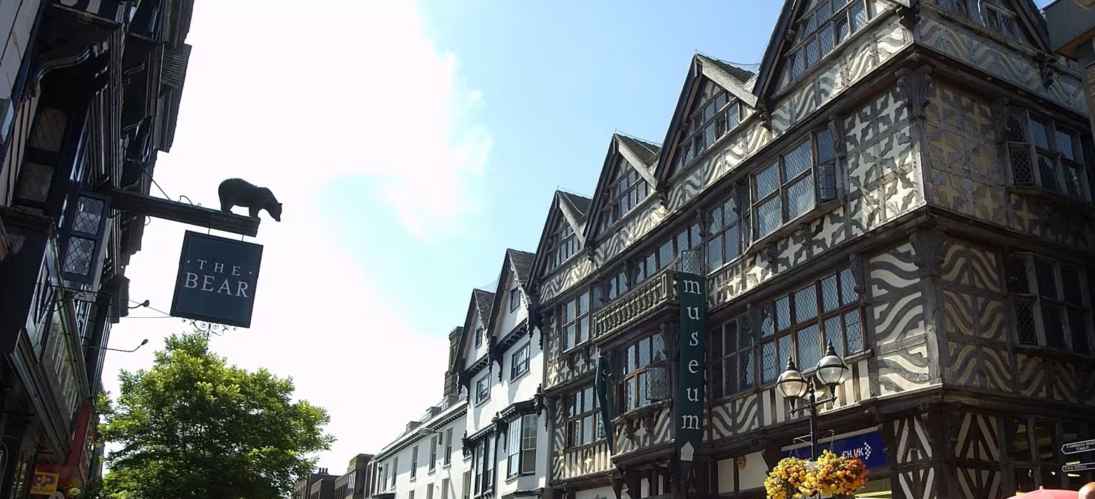
Image of buildings in the community of Stafford.
Stafford
View community
Image of a sign and park in Uttoxeter
Uttoxeter
View community
Image of houses on a hill in the community of Waterhouses.
Waterhouses
View community
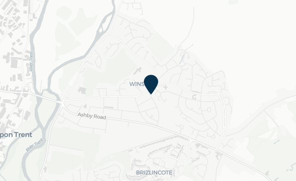
Image of mapping highlighting the location of Winshill
Winshill
View community
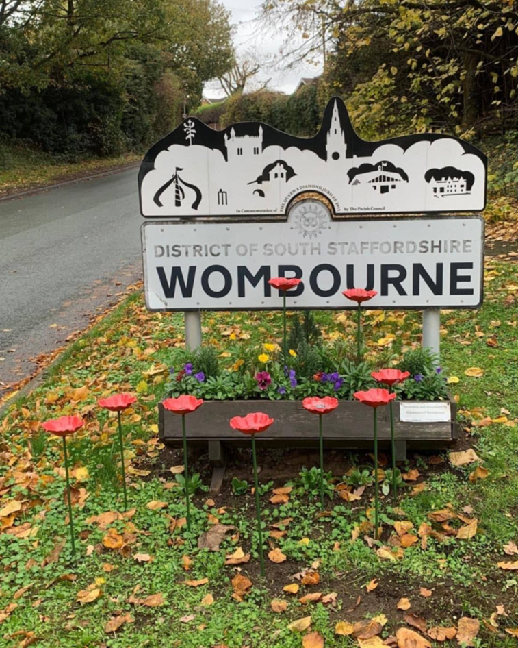
Image of community welcome sign for Wombourne
Wombourne
View community